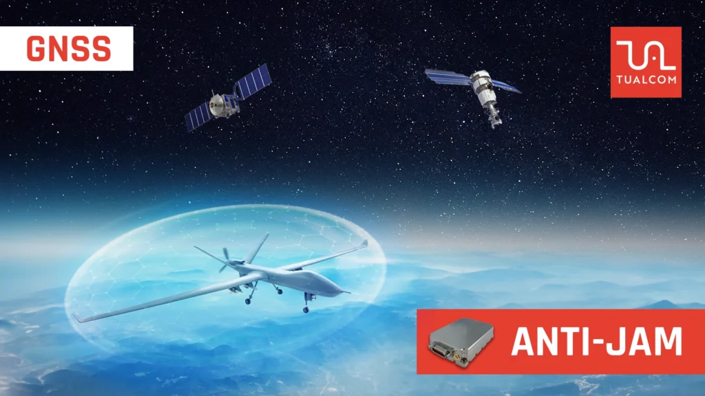
GNSS, or Global Navigation Satellite System, is a state of the art technology that cate to our modern positioning, navigation and timing (PNT) needs. It’s intricate design has resulted in a complex system, but also allowed for simple calculus and trigonometry to work out position of the receiver anywhere in the world.
At its Heart, GNSS is a Network of Satellites Orbiting Earth
These satellites constantly transmit signals containing satellite ID and precise timing information. GNSS receivers, present in any smartphone, automobile, or even specialized farming equipment, can pick up these signals from multiple satellites
The Magic Lies in How the Receiver Calculates Your Position
Taking into account the fact that GNSS signals travel almost at speed of light and by analyzing the time it takes for the signals to travel from the satellites to the receiver, the receiver can determine the distance to each satellite. With distance measurements from at least 3 satellites, the receiver can then perform calculations using trigonometry to pinpoint the location on Earth (latitude, longitude, and altitude). A fourth satellite is needed to also determine the time.
GNSS isn’t Just About One System
There are actually 4 GNSS satellite constellations currently operational globally, each offering its own set of satellites:
GPS (Global Positioning System)
Developed and operated by the United States, GPS is the pioneering and most widely used GNSS constellation globally.
GLONASS (Globalnaya Navigatsionnaya Systema)
Developed by Russia, GLONASS offers an alternative to GPS and can improve positioning accuracy when used in conjunction with GPS.
Beidou
Developed by China, Beidou originally focused on serving the Asia-Pacific region but has expanded its reach providing global coverage.
Galileo
Developed by the European Union, Galileo is the most recent GNSS constellation in the space that is still under development but offers promising improvements in accuracy and signal availability.
The Benefits of GNSS are Vast
It has revolutionized various industries, from transportation and logistics to surveying and emergency response. Here are some key applications :
Navigation
GNSS is the backbone of modern navigation systems in cars, smartphones, and even maritime navigation.
Mapping and Surveying
GNSS provides highly accurate location data for creating detailed maps and conducting precise surveys.
Precision Agriculture
GNSS helps farmers optimize their land use, track machinery, and apply resources more efficiently.
Emergency Services
GNSS allows emergency responders to locate people in distress quickly and accurately.
Critical Infrastructure
GNSS provides precise time information for critical structures such as power grids and stock markets in a time synchronized manner.
However, GNSS Does Have Limitations
Signal availability can be affected by factors like buildings, dense foliage, or even solar flares. Additionally, the accuracy of GNSS can vary depending on the number of satellites in view and the specific GNSS constellation being used. In addition to these unintentional degradation to GNSS signals, there is also intentional disruption to GNSS provided PNT services using simple and cheap jamming devices or more complicated spoofing mechanisms.
In a world where GNSS dependence is ever increasing, the main focus of TUALCOM’s high-performance CRPA based Anti Jamming devices is to deny such intentional disruptions to the GNSS service. With the help of TUALAJ Anti Jam products GNSS receivers are more resilient to intentional GNSS degradation than ever.
TUALCOM ANTI JAMMING
GPS-GNSS SYSTEMS
Best Performance with
Smallest Dimensions
ANTI JAMMING PRODUCTS


